Field report
The Piri Reis Map
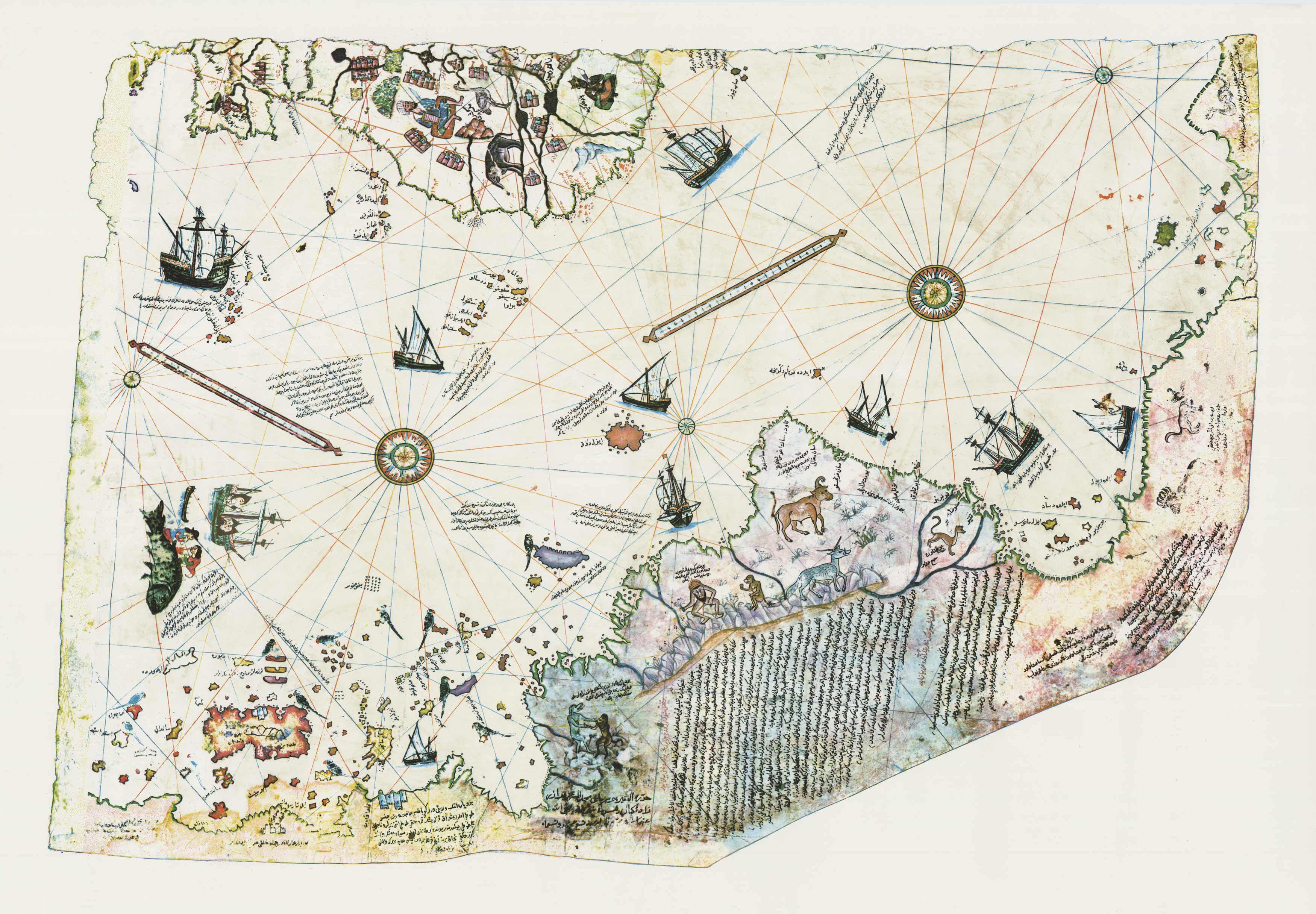
Overview
Ottoman map (1513) compiled by Piri Reis, depicting parts of the world, including what appears to be the coastline of Antarctica free of ice, centuries before its official discovery.
Investigation
The map's accuracy and depiction of an ice-free Antarctica have led to theories of advanced ancient civilizations or extraterrestrial knowledge. Mainstream scholars attribute it to ancient source maps and cartographic interpretation.
Why it matters
A cartographic enigma that challenges conventional historical timelines and fuels speculation about lost knowledge or advanced ancient explorers.
Open this case in the interactive archive